 Varsom


About Varsom
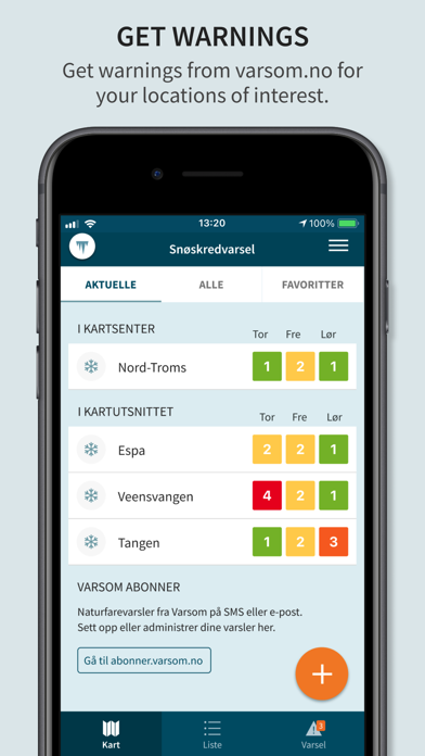
Improve planning for winter trips into the hills and mountains or on frozen lakes. Prevent damage from floods with better knowledge. Report where you have seen avalanches. Together we can save lives and reduce damages due to avalanches, floods, landslides and dangerous ice conditions.
This app gathers in one place the most important features from the Varsom Platform needed in the outdoors, for field inspections and for readiness, crisis management and rescue situations. Observations from regobs.no, warnings from varsom.no, and support maps from xgeo.no and iskart.no are included.
The app is also available in English, such that visitors from abroad may read and submit observations, as well as receive warnings. As a bonus, the app now works well outside Norway.
Varsom and the warning services for avalanches, landslides, ice conditions and floods are services provided by the Norwegian Water Resources and Energy Directorate (NVE) in co-operation with the Norwegian Public Roads Administration and the Norwegian Meteorological Institute.
Release notes
Fixed numeric keypad that were partly covered by the navigation bar
Categories
Utilities > Weather
Minimum OS version
iOS 15.0